
ROUTE MAP & PHOTOS
Route Maps
THE STARTING LINE WILL BE AT THE GAVINS POINT AREA PICNIC SHELTER ON THE EAST END OF THE BEACH PARKING LOT. (map)
Click here for Google Maps directions from Yankton.
Not all runners use the maps, so we will not provide them for you. If you want one, please feel free to print one so you have it.
Click the two links below for detailed maps of the race routes!
5 K Route on Google Earth
10K and 1/2 Marathon on Google Earth
*Half marathon mile markers are approximate
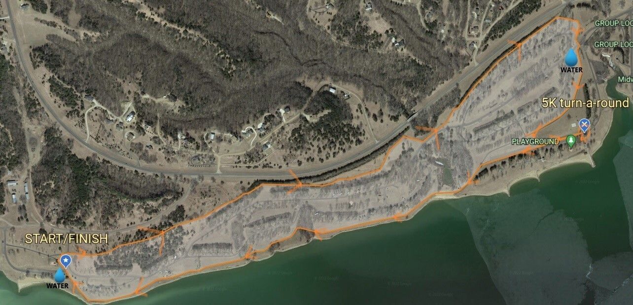
5K Route
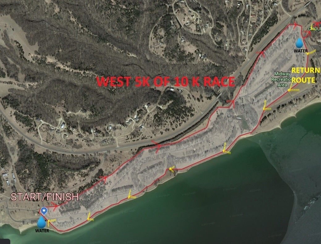
10K Route west
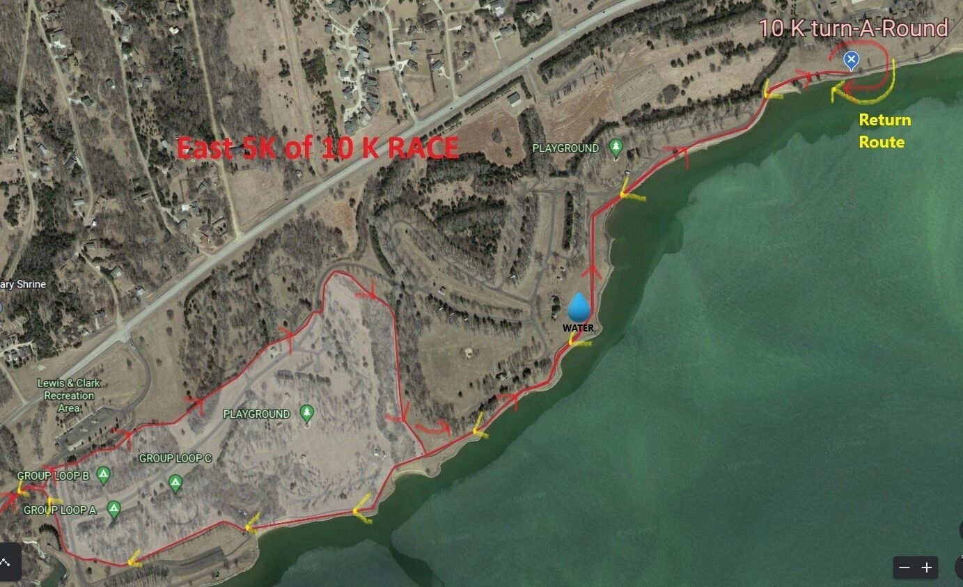
10K Route east
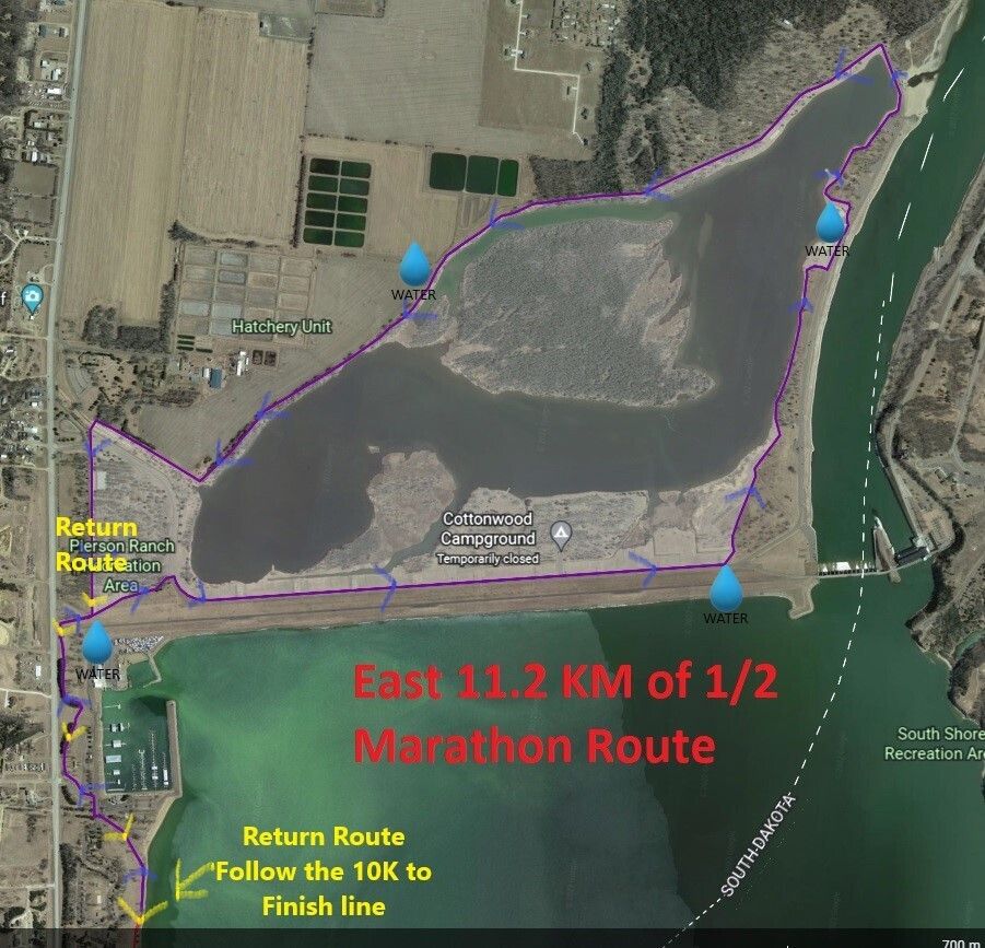
1/2 Marathon east
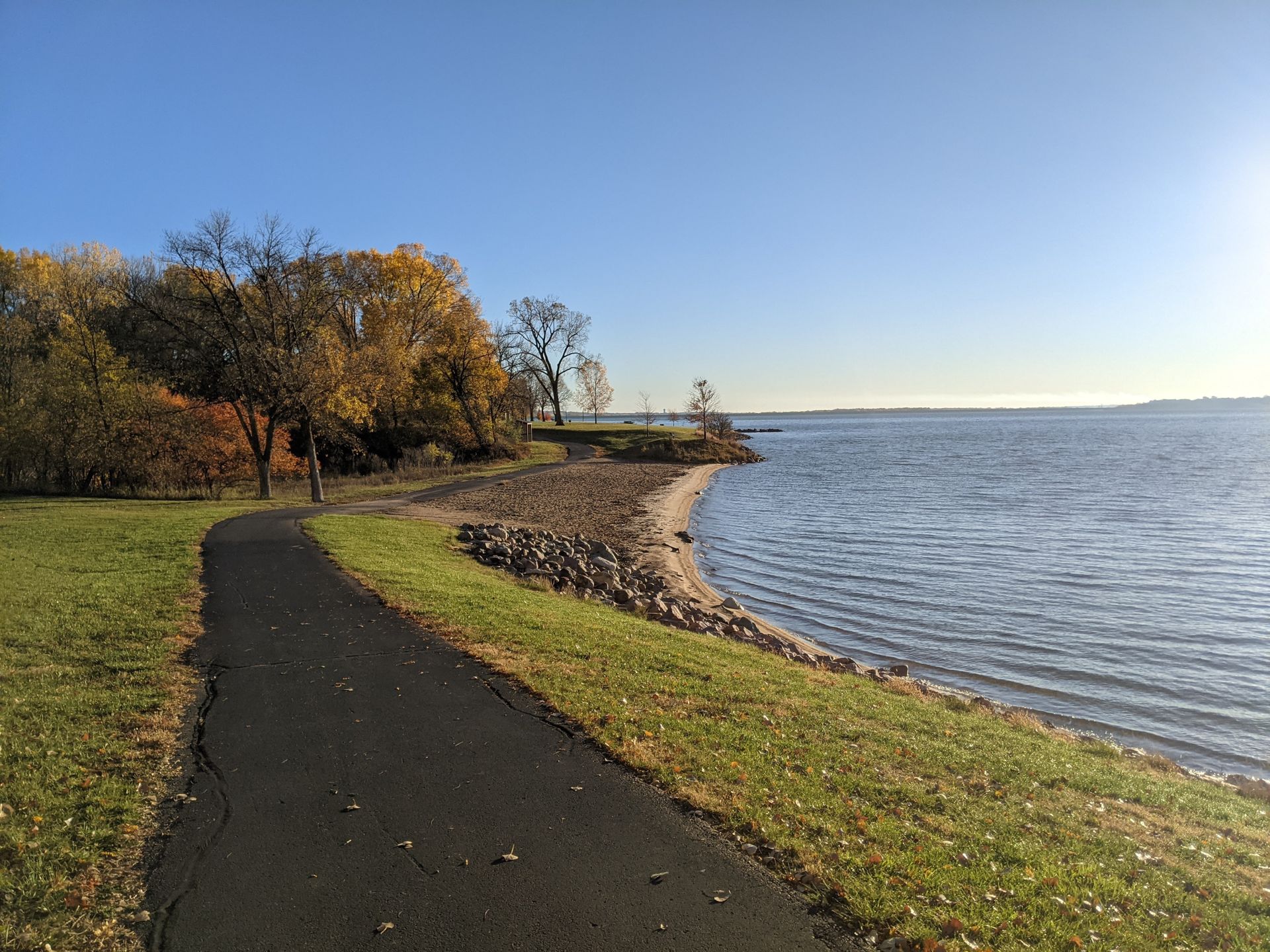
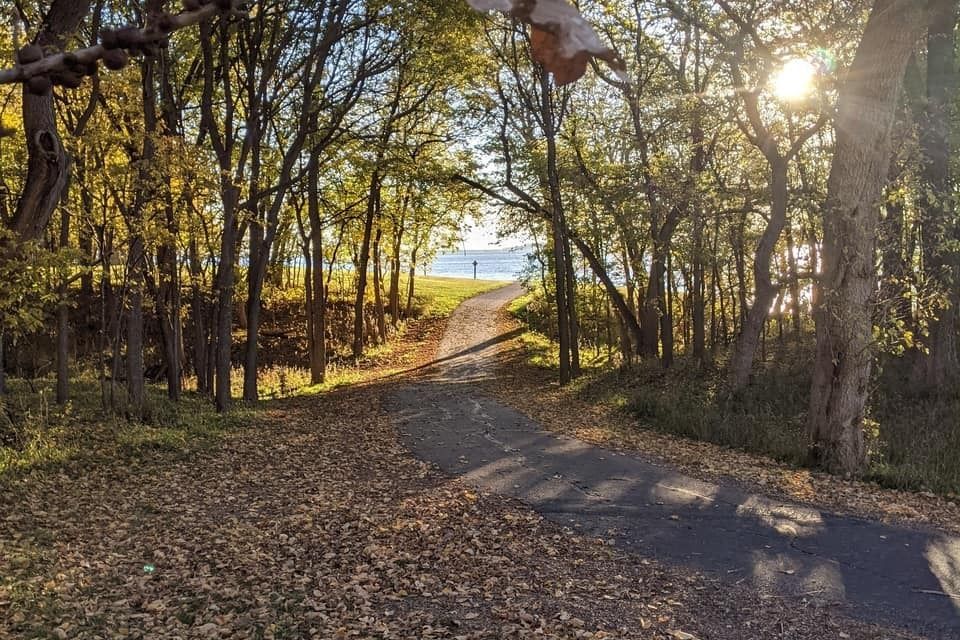
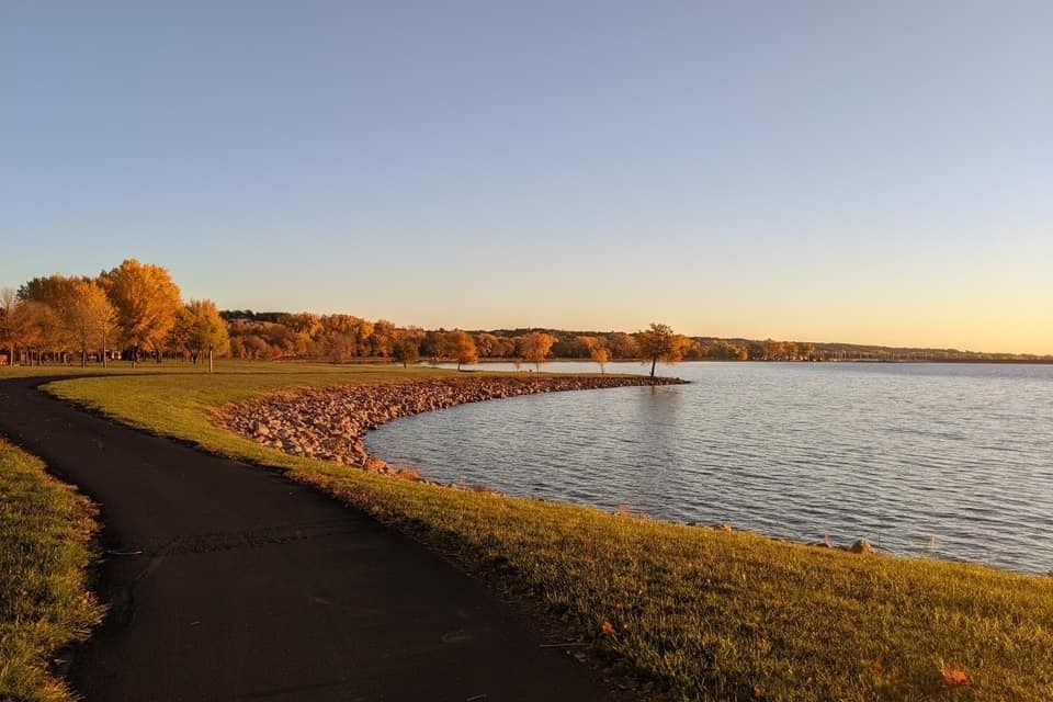
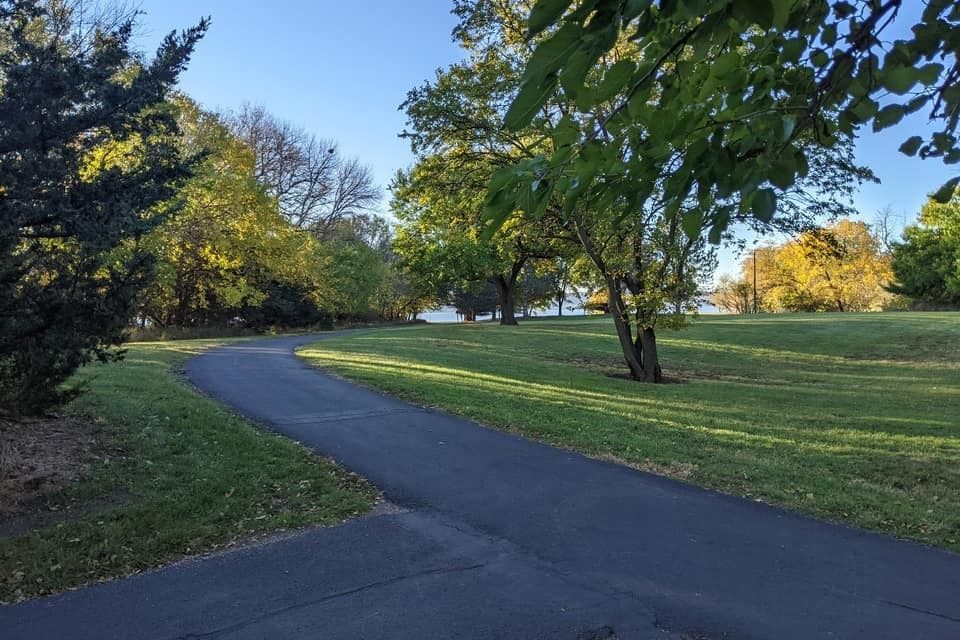
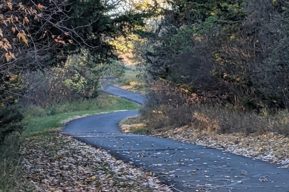
Pictures of the River Rat Race Route!